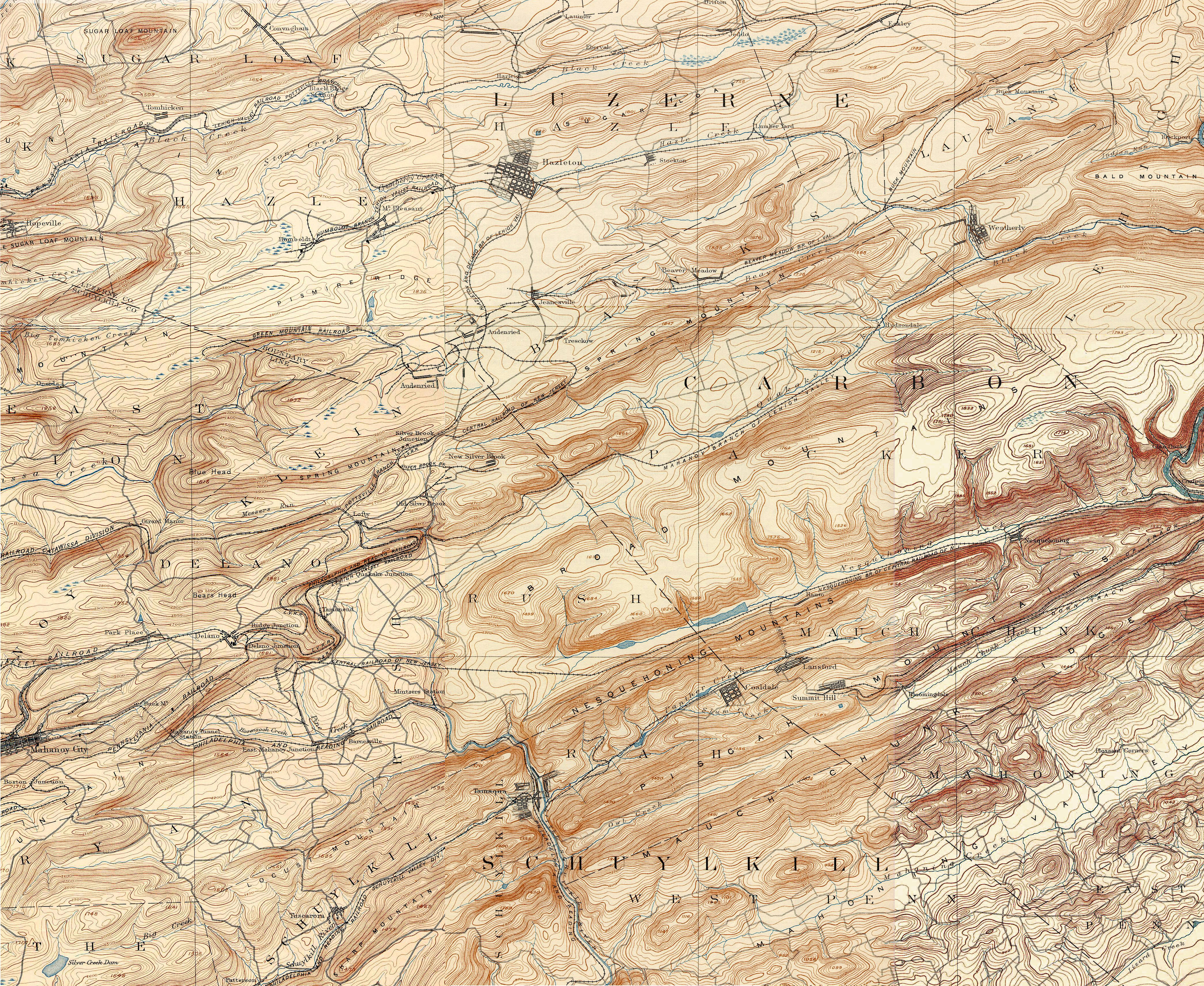
Tamaqua Area Topographic
Map – 1893
Source
– Penn State University historic map collection:
ftp://www.pasda.psu.edu/pub/pasda/maptech_historic
This map is a combination of the Mahanoy, Hazleton and Pottsville quadrangles.
Go
to the Tamaqua Area
Map Index
About
The Hopkin Thomas Project
Rev.
October 2010