Tamaqua Area Maps
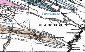
Click here for the full coal fields map.
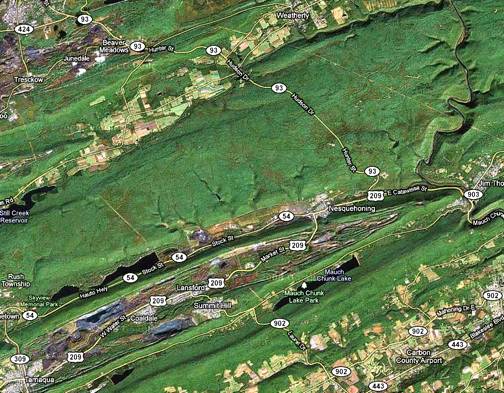
Google map of area – 2010. Beaver Meadows and Weatherly are at the top – Tamaqua at the bottom right. Mauch Chunk (now Jim Thorpe) is at the right where the Lehigh River snakes through the mountain region.
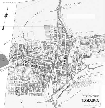
Tamaqua – 1872. Source: Beers Atlas. Click here for enlargement.
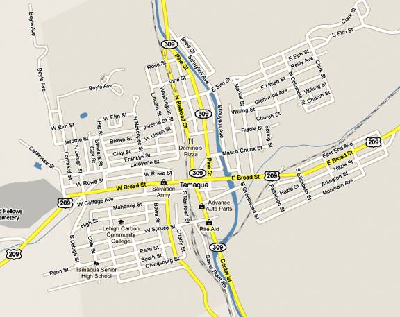
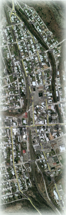
Google Street Map – 2010. The town is bisected by the Little Schuylkill River. The railroad is to the west of the river. The area between the railroad and river was wiped out in the Great Flood of 1850. Click here for a larger scale map.
 s
s
For a close-up of the flooded area, click here.
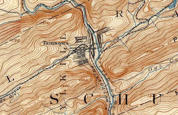
A topographic map of the town of Tamaqua – 1893. Click here for the topo map of the larger area from which this was excerpted.
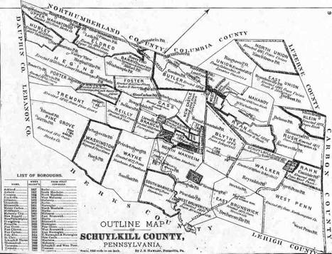
This map identifies the townships within Schuylkill County, of which there are many. Click for enlargement.
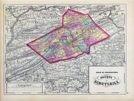
This map from an 1872 atlas shows the routes of the many railroads that were developed in the Schuylkill region. Click for enlargement.
(Use the browser zoom control for even greater enlargement.)
About The
Hopkin Thomas Project
Rev. August
2010